
Proven execution. Powerful results.
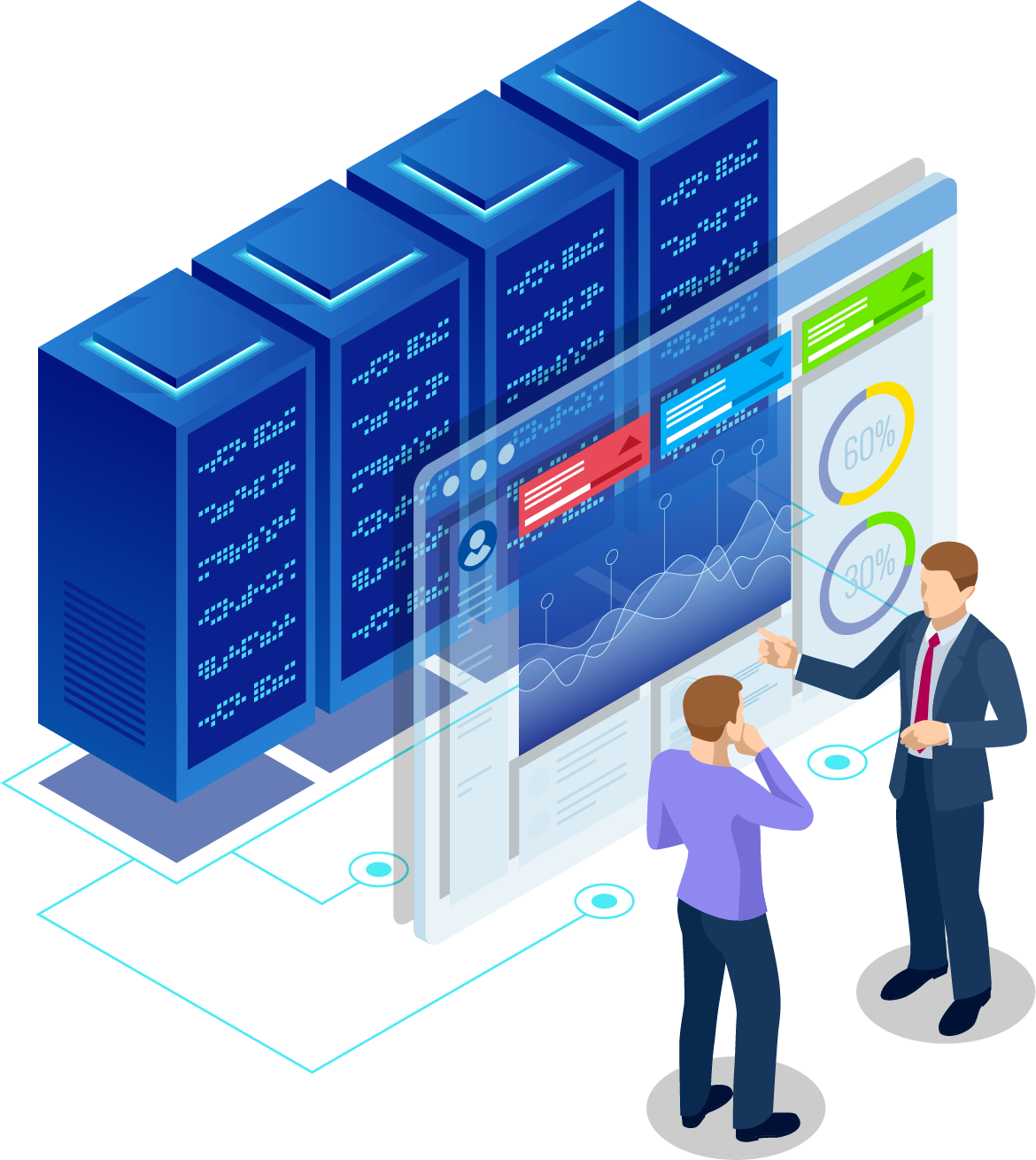
Sanametrix’s data and analytics services enable federal clients to make informed operational decisions. Our experts specialize in large-scale data collection systems, data science, and data dissemination. These custom systems power some of the largest federal data collections, increase analytic capability through data visualization, and transform big data into meaningful intelligence.
Commodity Future Trading Commission, Office of Inspector General (CFTC OIG)
Descriptive Study and Analysis Support
Sanametrix conducted a descriptive analytic study for CFTC OIG to assess the effectiveness of the agency’s performance as it relates to the OIG semi-annual report, the 1978 OIG congressional act, and general public sentiment. Our team included data scientists, data analytic tool developers, system engineers, and a project manager. For CFTC we leveraged our SanaCloud Sandbox to data mine structured and unstructured datasets which were then analyzed through our customized data model. This cutting-edge approach was a combination of big data transformation, data modeling, advanced cloud elasticity, statistical programming, and OIG subject-matter expertise.
This analytic study provided insight to CFTC OIG leadership on the effectiveness and relevance of their mission focus relative to their agency goals. This insight enabled CFTC OIG leadership to identify areas for additional monitoring and future improvements.
Department of Agriculture, Enterprise Geospatial Management Office
Advanced Geospatial Analysis
The Sanametrix Geospatial Team creates advanced geospatial analysis systems that transform large-scale data into advanced visual analytic tools. At the US Department of Agriculture (USDA), Sanametrix worked directly with the USDA Chief Geospatial Officer to identify synergies in the program’s geospatial investments and mission areas. We then developed geospatial solutions for these shared mission areas that leveraged multiple data sets and overlaid consolidated data on map images. Our team included geospatial developers, GISP-certified project managers, geodatabase designers, and geospatial usability experts. We provided full lifecycle design, development, and hosting of geospatial information systems that enabled researchers to spot trends in large datasets using advanced geographical dissemination tools.
Our geospatial systems provided a powerful platform for advanced data visualization. The ability to combine data from disparate data repositories and then access them in a consolidated data analytic tool provided USDA with groundbreaking insight. These systems allowed features (e.g., advanced filtering and multidimensional querying) that enabled researchers to gain insight that they would not have been able to gain through other types of data analysis.